
Bayfield Historical Web Map
Discover Bayfield’s history using this interactive tool. Upload your own images!
Start exploring below.
Welcome to the Bayfield Historical Web Map, maintained by the Bayfield Historical Society.
What can I do with the Web Map?
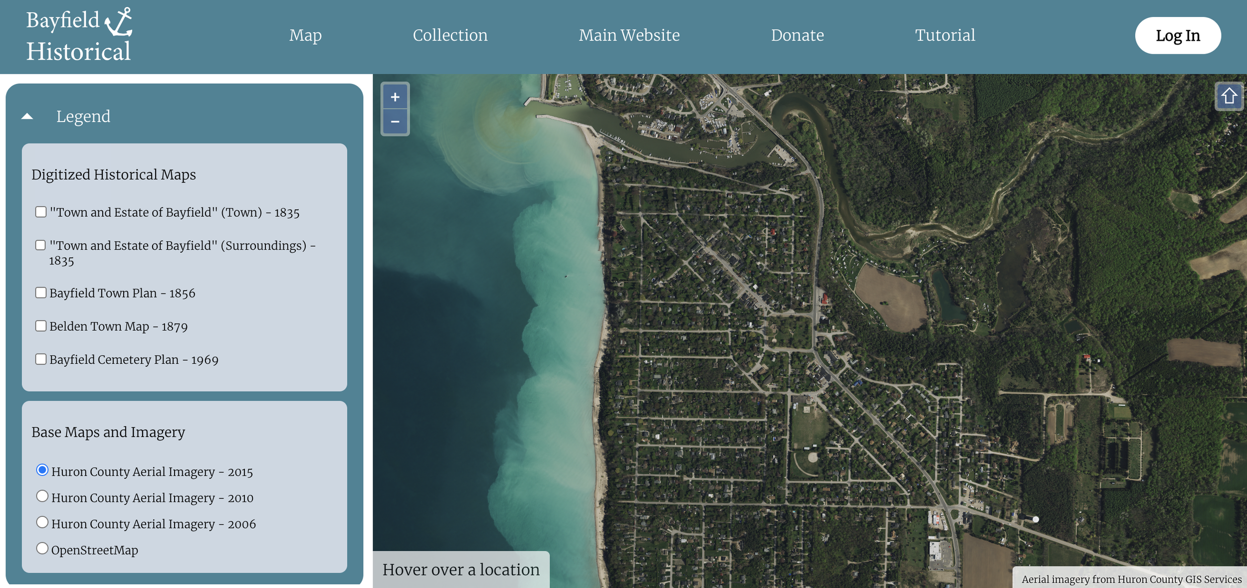
Explore the Bayfield Historical Society's photograph and postcard collection by location (just click anywhere on the map within Bayfield to view images from that location);
View digital versions of historical maps and plans of Bayfield (see the "Legend" tab);
View information about specific properties in Bayfield (by double clicking on a location), including architectural heritage information, land ownership information, and information about organizations/businesses that were once present in that location;
Search our photograph and postcard collection using basic ("Google style") or advanced search options (see the "Collections" page);
Explore basic genealogical information.
Add scans of your own historic photographs or postcards to our digital collection (advanced users)